Map
Map
Mangamanu
Today's Surf Conditions at Mangamanu
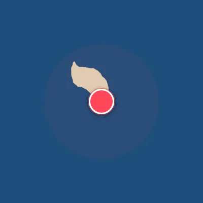
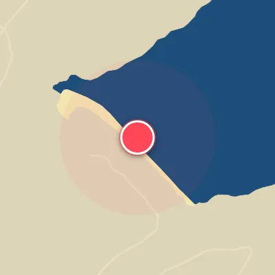
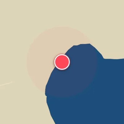
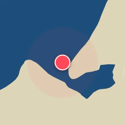
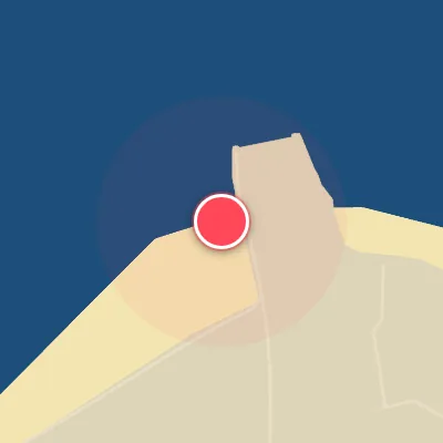
Spot Conditions Map
Hover over the hourly chart columns to update the wind & swell direction overlays on the map.
Today's Surf & Wind Forecast (Hourly)
Loading forecast text...
Best Surf Season & Climatology
Best Surf Season (April - September)
Winter in the Southern Hemisphere fires up the South Pacific storm track, delivering the most consistent and powerful swell to Mangamanu. From April through September, average wave heights range from 1.7m to 2.0m with periods frequently exceeding 10 seconds, often reaching the powerful 10-14s bracket. Critically, the wind is ideal for surfing 58% to 78% of the time, with a dominant flow from the west, northwest, and north-northwest that blows cleanly offshore across the Southeast-facing beach. This combination of solid, long-period swell from the south and southeast and reliable offshore winds creates firing, rippable conditions day after day. Storms spinning up in the Roaring Forties send long-period groundswells that wrap into the bay, and when a high-pressure system settles in over the Tasman Sea, expect glassy mornings and pumping afternoon sessions.
Fair Surf Season (October - March)
Spring and autumn bring a transition in the synoptic setup. From October through March, the average swell height drops slightly to 1.5-1.7m, and the average period settles in the 9-10s range – still punchy, but lacking the raw power of winter. The percentage of ideal offshore wind falls to 43-58%, with more frequent interruptions from onshore easterly and southeasterly breezes that can chop up the surface. However, this season also sees a greater variety of swell directions, including occasional pulses from the optimal east and east-southeast quadrants that light up the point. When a cold front and post-frontal westerlies align, you can still score fun, clean waves, especially early or late in the day.
Low Surf Season (December - February)
During the height of summer, the surf takes a distinct step down. From December through February, the average wave height hovers around 1.5-1.6m, and the period drops to 9.1-9.8s – still rideable but often weaker and more inconsistent. The wind blows offshore only 43-48% of the time, with frequent afternoon sea breezes from the northeast and east that ruin the surface. Swell energy is lower, and many days are dominated by small, short-period windswell from the east and southeast. That said, a long-period south swell can still sneak in now and then, and if you pick your windows when a westerly wind blows, you'll find clean, fun-sized waves in the 0.5-1.5m range. It is not a total write-off, but patience is key.
Detailed Surf Information for Mangamanu
Detailed Surf Forecast
Access our detailed 8-day swell and wind forecast charts for Mangamanu with tidal graphs, period ranges, and daily forecast text summaries.
Swell & Wind Statistics
Explore historical swell consistency, wave heights, and offshore wind windows month-by-month, compiled from over 40 years of data.
Historical Surf Report
Browse the historical database archives to view past wave reports and understand spot climatology during specific years and months.