Map
Map
Santa Cruz
Today's Surf Conditions at Santa Cruz
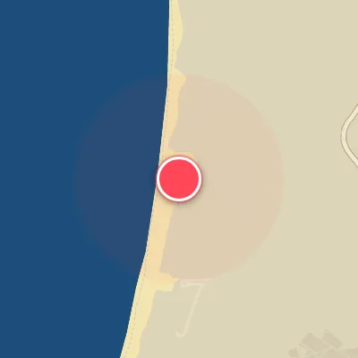
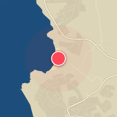
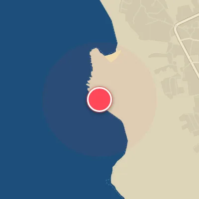
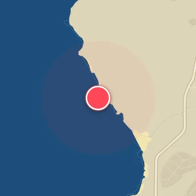
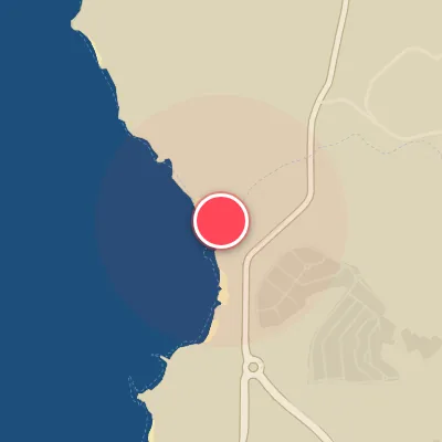
Spot Conditions Map
Hover over the hourly chart columns to update the wind & swell direction overlays on the map.
Today's Surf & Wind Forecast (Hourly)
Loading forecast text...
Spot Overview & Description
Santa Cruz delivers classic beach break action over a sandy bottom, offering both lefts and rights scattered around town. The system of peaks along the town front provides plenty of playful potential on small to moderate swells, with enough variety to keep things interesting. However, those town peaks can get thick with summer crowds, so expect some company when the sun is out and the waves are up.
Best Surf Season & Climatology
Best Surf Season (October - March)
During these months, the North Atlantic erupts with powerful extratropical cyclones, generating consistent long-period swell from the NW to W window. Santa Cruz's west-northwest exposure lines up perfectly, delivering muscular, well-ordered lines. Ideal offshore winds from the S to SW quadrant are more frequent, especially in December and January when the percentage of clean conditions peaks near 24%. Expect average wave heights exceeding 2m and periods consistently above 12 seconds, often pushing into the 15-19s range. This is prime time for the bigger, heavier waves that Santa Cruz is known for.
Fair Surf Season (April & September)
April and September are transitional months. Swell energy begins to wane in April as the storm track shifts north, but there's still plenty of punch from NW groundswells with average heights around 2m and periods of 11s. The trade-off is a higher frequency of onshore N winds, reducing the window of clean surf to about 11%. September marks the return of the Atlantic swell machine, with average heights climbing to 1.6m and periods increasing to 10.5s. Wind patterns become more variable, offering occasional light offshore mornings before the seabreeze kicks in.
Low Surf Season (May - August)
From May through August, the Azores High dominates, and the North Atlantic storm track retreats to the north. Swell heights drop significantly, averaging 1.4-1.7m, and periods shorten to 8.5-9.9s, resulting in weaker, more disorganized waves. The prevailing winds tilt strongly to the N and NNW, which are onshore or cross-onshore for Santa Cruz's west-northwest facing beach. The percentage of ideal offshore wind plummets to just 3-9%. While there can be fun, rippable surf on the smaller days, consistent quality is elusive. The highlight of the low season is the occasional long-period NW swell that sneaks through, often accompanied by less favorable wind.
Detailed Surf Information for Santa Cruz
Detailed Surf Forecast
Access our detailed 8-day swell and wind forecast charts for Santa Cruz with tidal graphs, period ranges, and daily forecast text summaries.
Swell & Wind Statistics
Explore historical swell consistency, wave heights, and offshore wind windows month-by-month, compiled from over 40 years of data.
Historical Surf Report
Browse the historical database archives to view past wave reports and understand spot climatology during specific years and months.